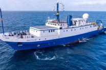
Deep-Sea Expedition onboard E/V Nautilus
Sat, 02/24/2024 - 7:18am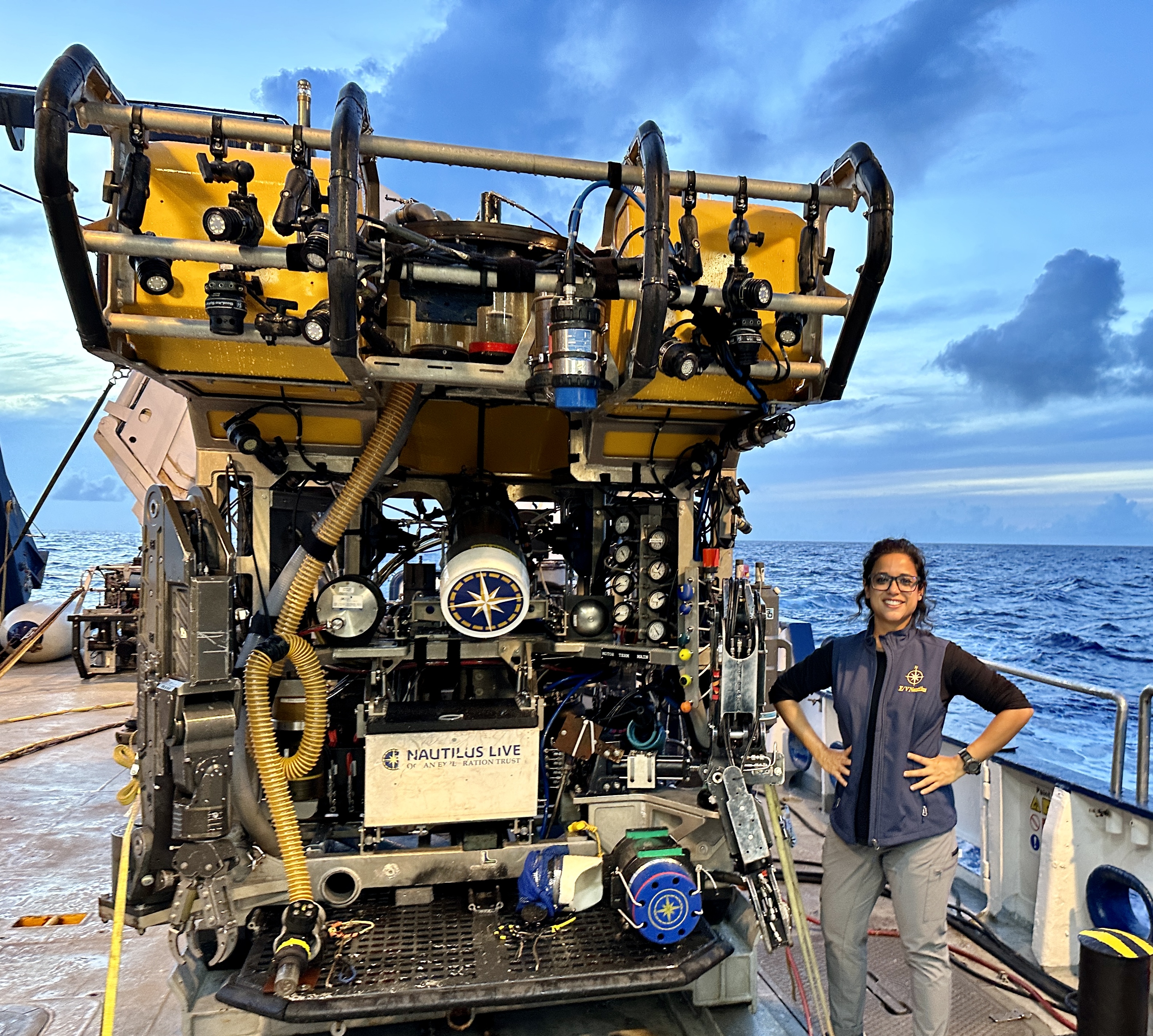
Upasana Ganguly, a PhD student in our Biology Department, served as the deep-sea biologist on the 1-28 September 2023 expedition of the research vessel E/V Nautilus exploring the undersea environment in Papahānaumokuākea Marine National Monument. Upasana has kindly provided the following summary of this expedition.
In September, this year, I joined the “Ala ʻAumoana Kai Uli” or “Path of the deep-sea traveler” in Papahānaumokuākea Marine National Monument, in the Pacific Ocean as the deep-sea biologist onboard the E/V Nautilus. This expedition was conducted by Ocean Exploration Trust to explore the unseen deep-sea habitats in the northwestern part of Papahānaumokuākea Marine National Monument (PMNM) using Remotely Operated Vehicles (ROVs). It is the largest marine protected habitat in the world, located north of Hawaiian main islands. According to the Hawaiian culture, Papahānaumokuākea is a sacred place, a realm of the gods where life evolved, and to which souls return after death.
During this month-long expedition, we conducted 12 ROV dives on underwater cultural heritage sites from the Battle of Midway and seamounts or underwater mountains to explore the deep-sea environments there. The ROVs are outfitted with high-definition cameras, sensors, sampling arms and other sampling tools. Seafloor was also mapped using acoustic sonars during the transit days to generate bathymetric maps of the seafloor in this under explored part of the Pacific Ocean and a total of almost 23,500 km2 of seafloor was mapped during this expedition.
Deep-sea Exploration
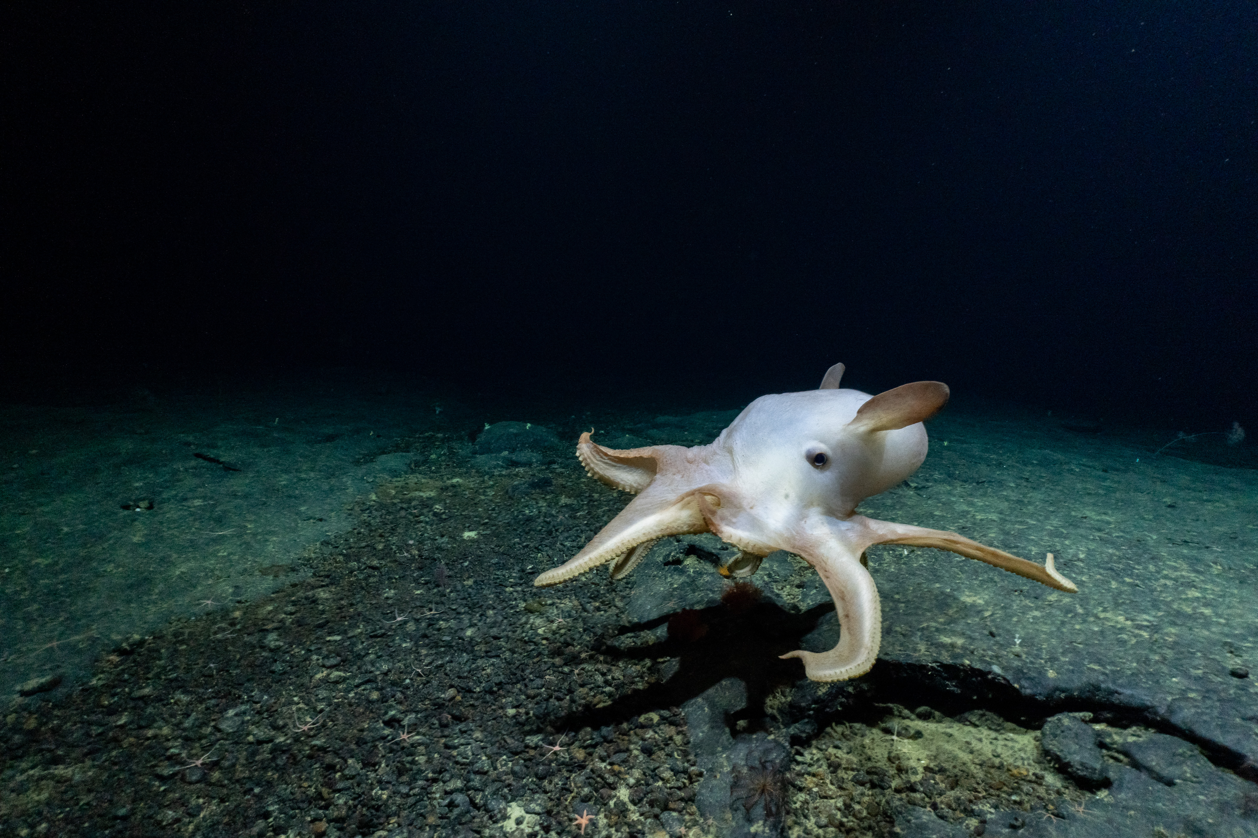
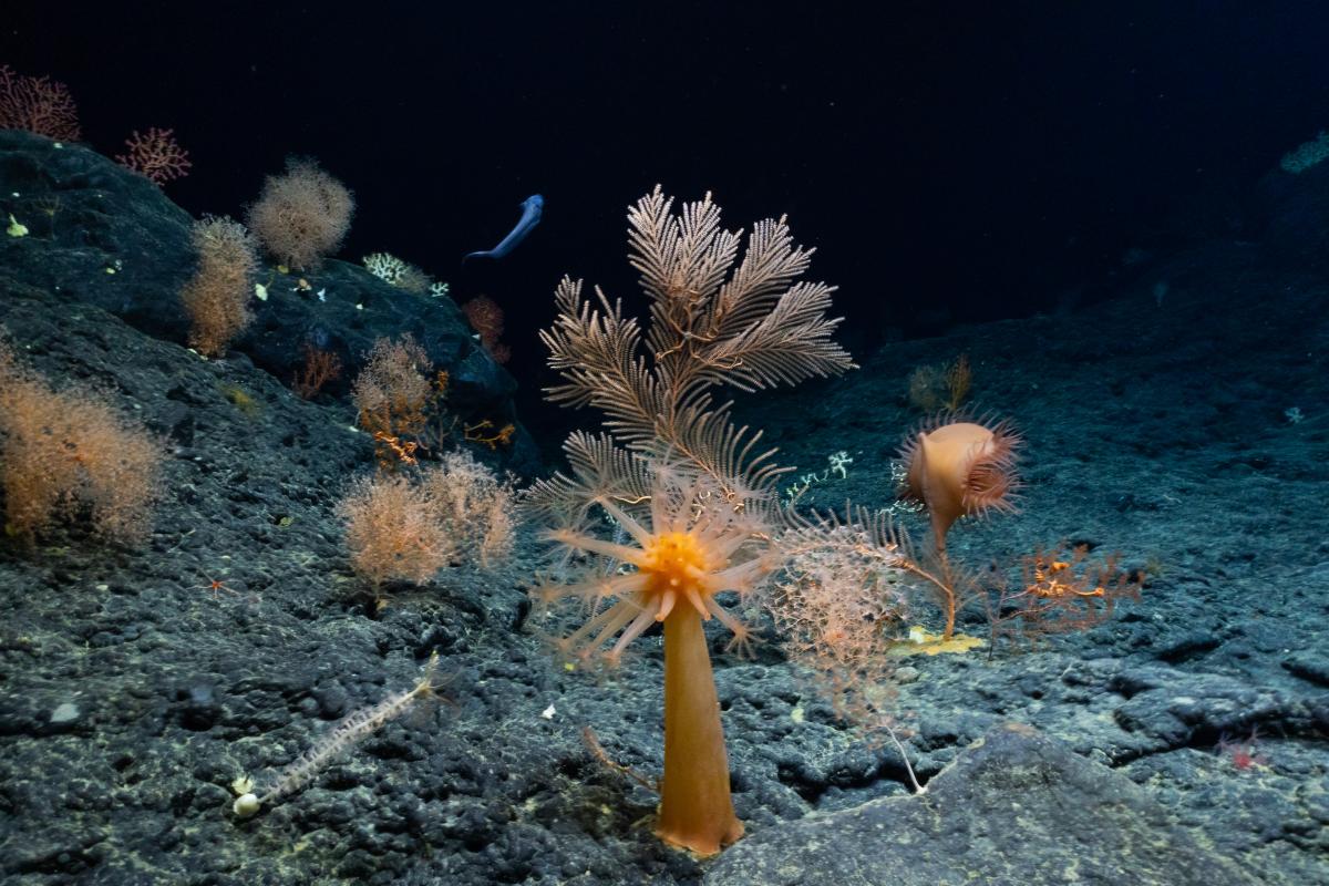
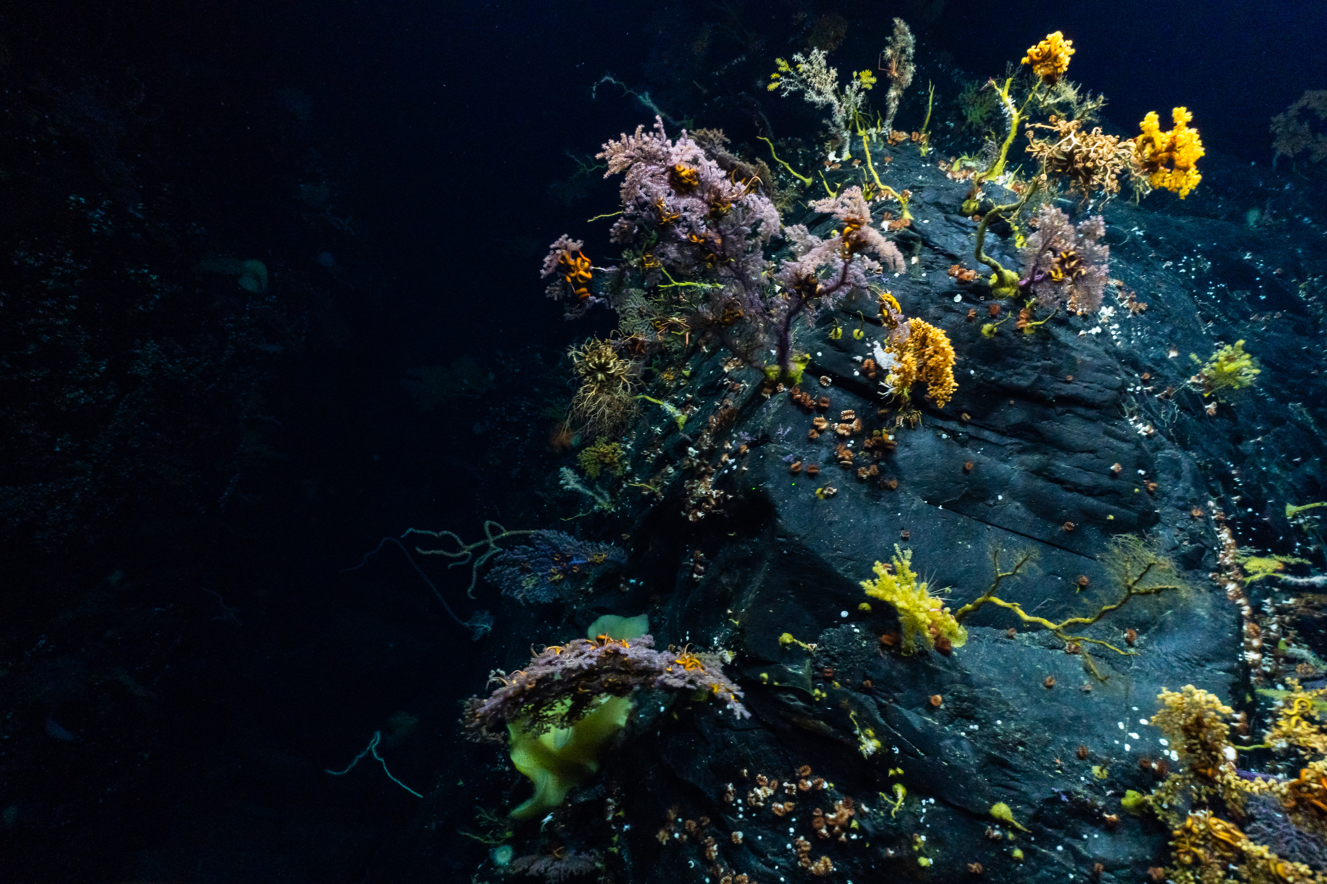
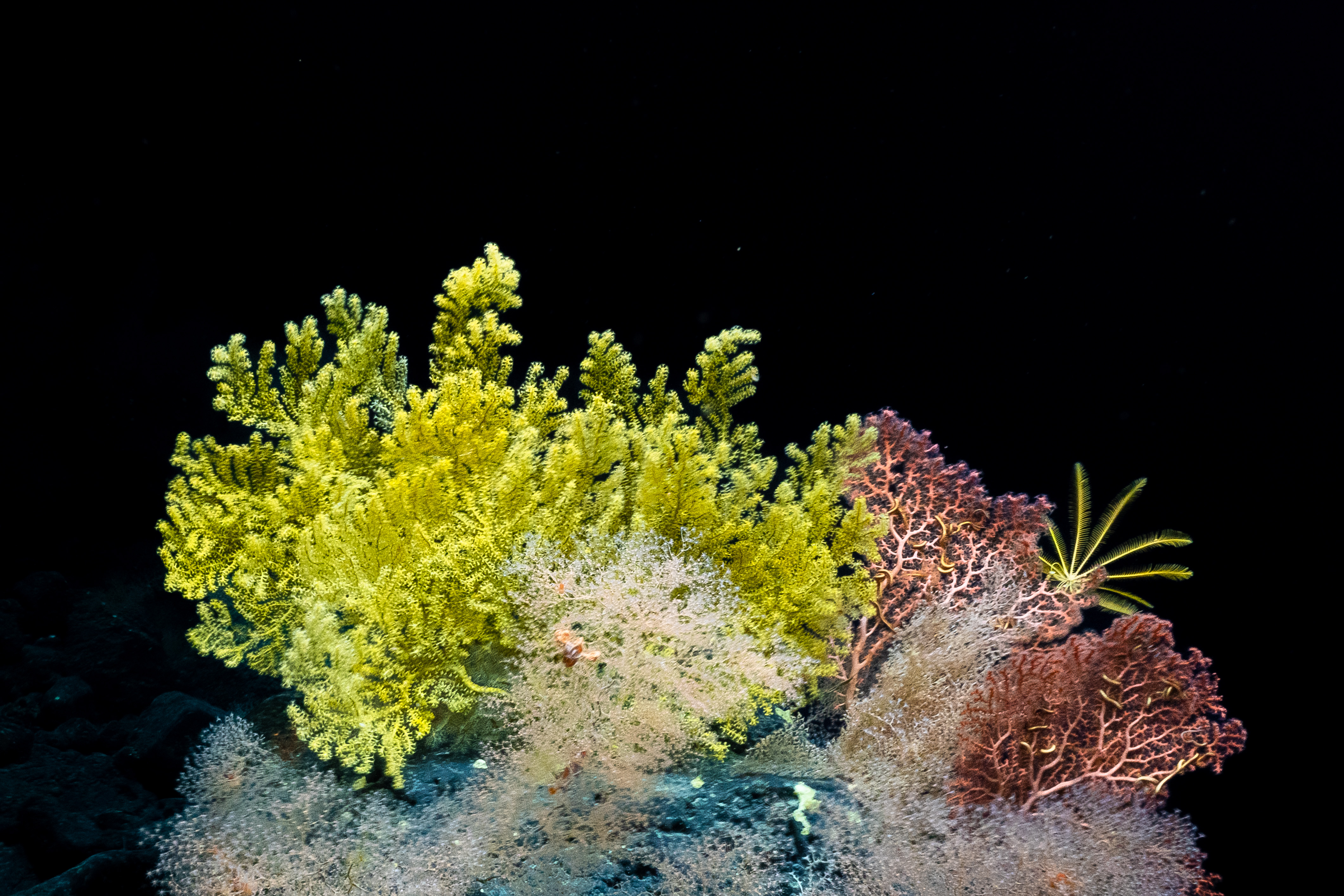
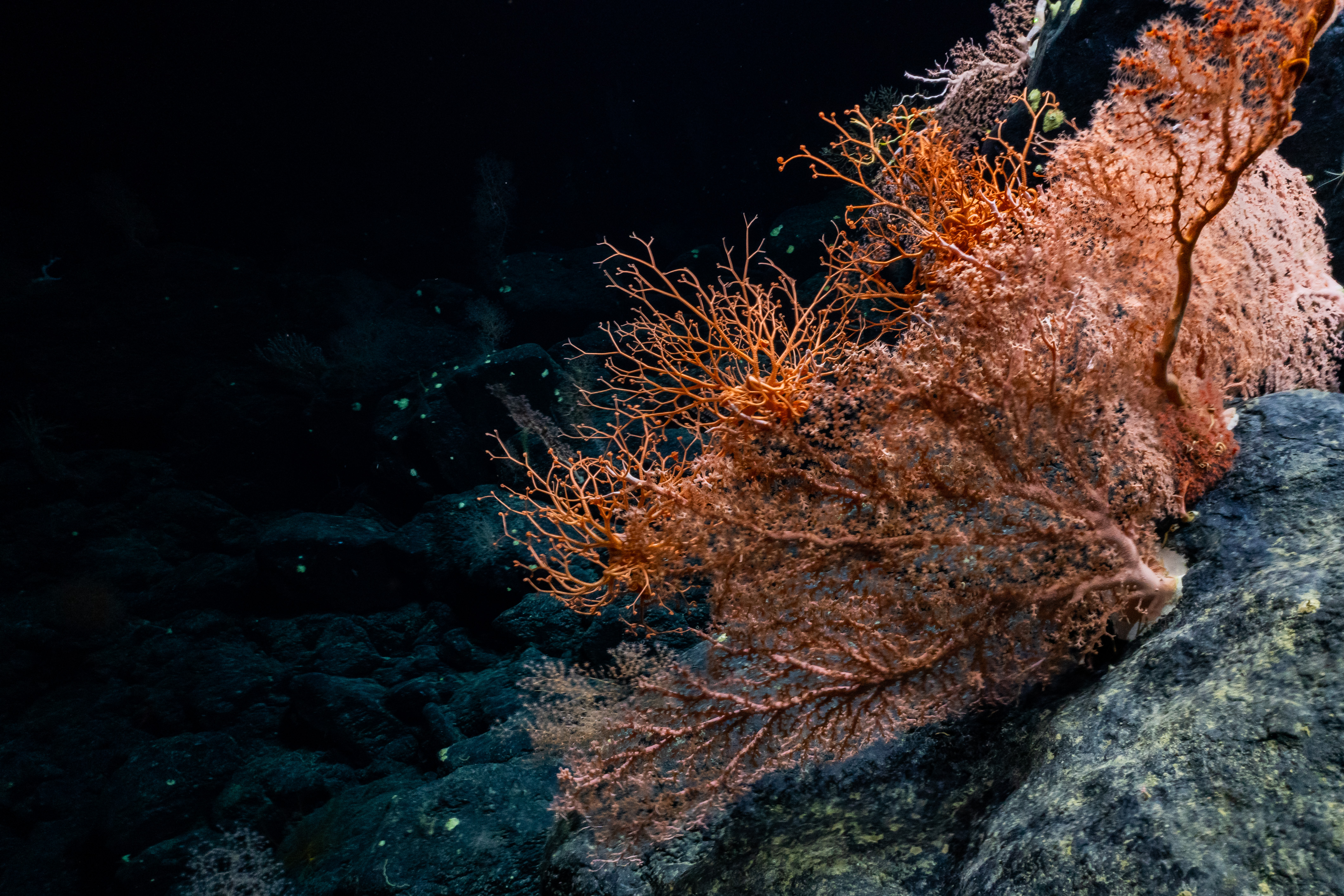
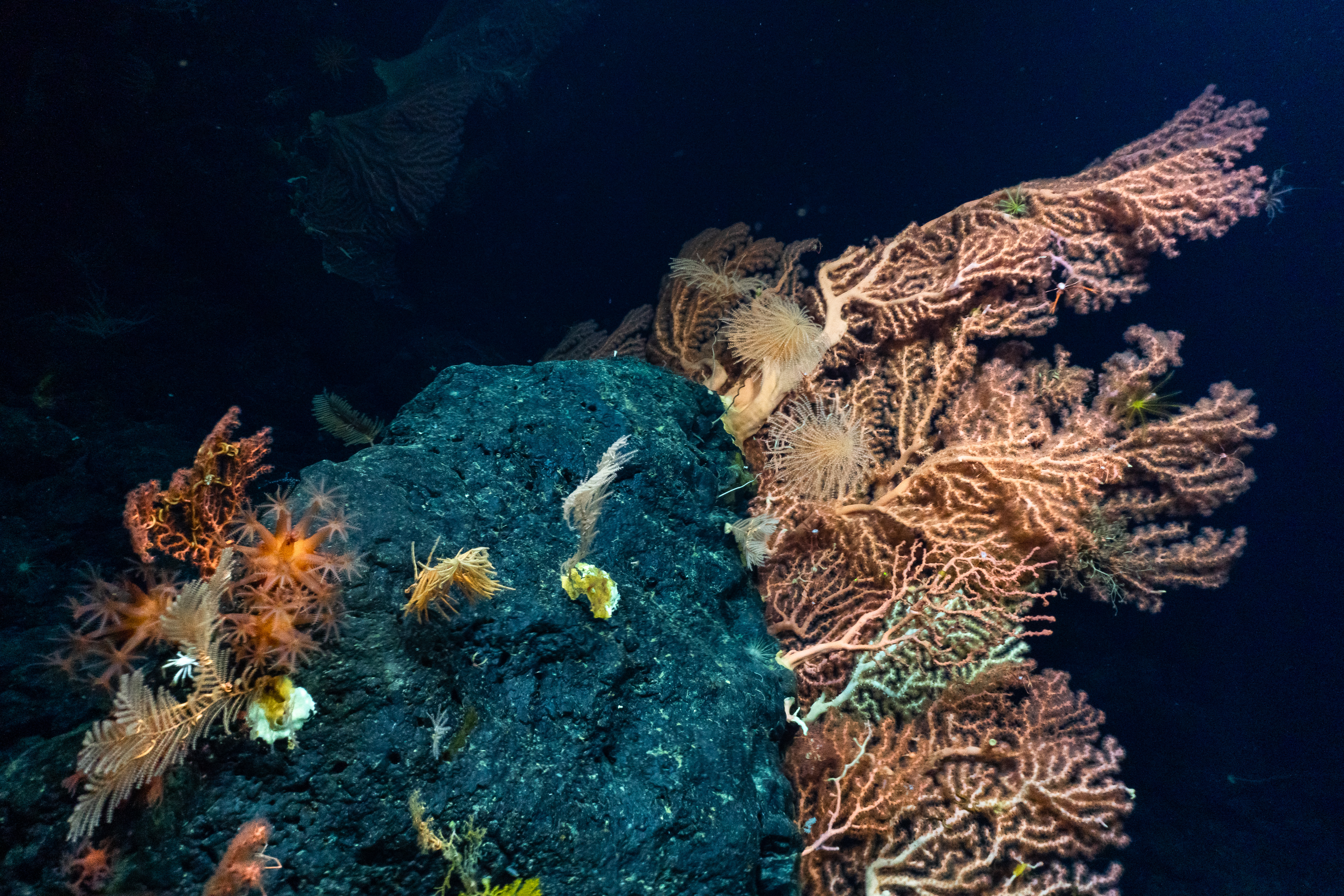
We conducted 9 ROV doves on 8 seamounts within the monuments and 6 of these were previously unexplored. All the dives were between 2000m to 1200m in depth. For years, researchers thought that these seamounts were a part of the Hawaiian range formed over the Hawaiian hotspot. However, recent studies suggest that these may have originated in the Cretaceous period over hotspots that are currently located in South Pacific Ocean.
On reaching the base of a seamount, the ROV would gradually climb along the slope recording the benthic communities and the geological formations at these depths. We explored and collected both rock samples and biological samples. The geological samples will be used to better understand the geological structure, age, volcanic history of this region. The video data from these dives and the samples that have been collected will contribute to our understanding of community composition, diversity, biogeographic connectivity, potential range expansion of taxa there. We discovered several high diversity regions including several sponge and coral gardens and observed hundreds of species of deep-sea organisms, many of which were previously unknown from this region and recorder some potentially new species as well.
Maritime Archeology
We conducted three ROV dives at depths greater than 5000m to survey 3 aircraft carriers that were sunk during the Battle of Midway in June, 1942during the World War II. We successfully completed the first visual survey of the Imperial Japanese Navy’s Akagi, a complete visual survey of Imperial Japanese Navy’s Kaga, and the first detailed views of USS Yorktown in 25 years.
All the dives were live streamed on several public domains for scientists, students, and the public to watch and also participate and communicate with the scientists onboard. This expedition achieved wide reach across the world with over millions of views and interactions on several platforms. If anyone is interested to find out more about this expedition, they can contact me or visit the NA154 Expedition web page
You can also learn more about Upasana by visiting Upasana Ganguly's France Lab web page or by visiting Upasana Ganguly's NA154 Expedition web page.
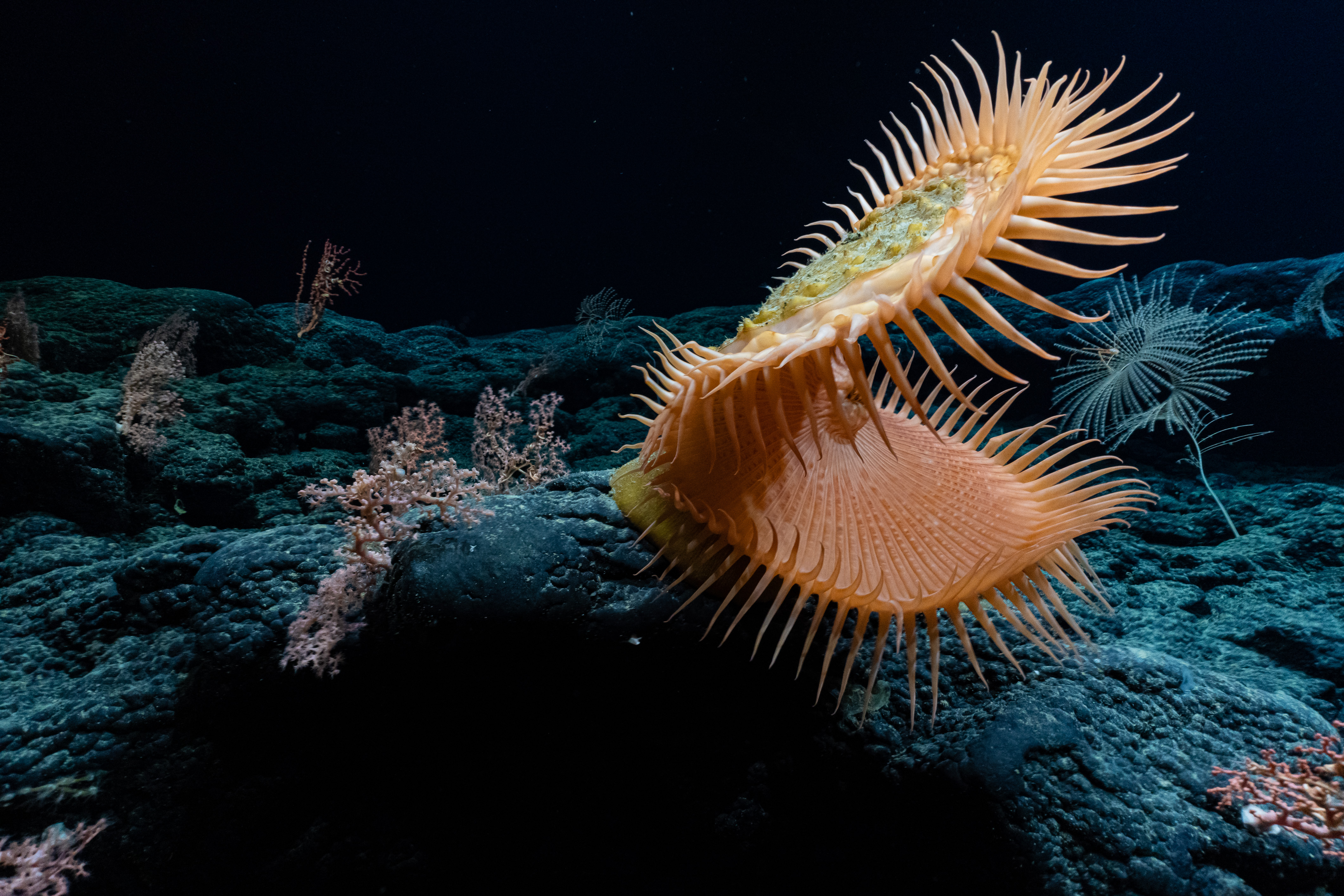
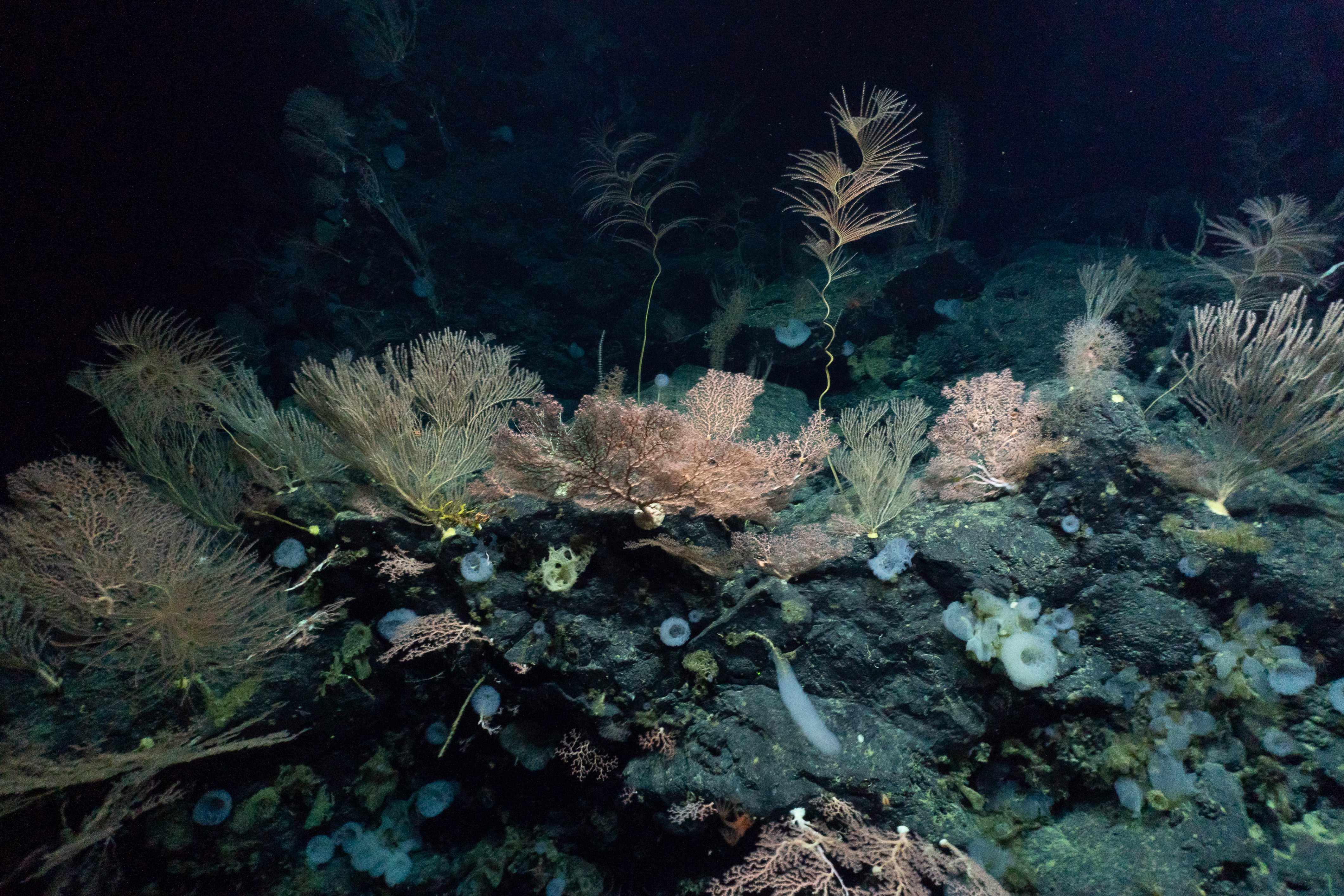
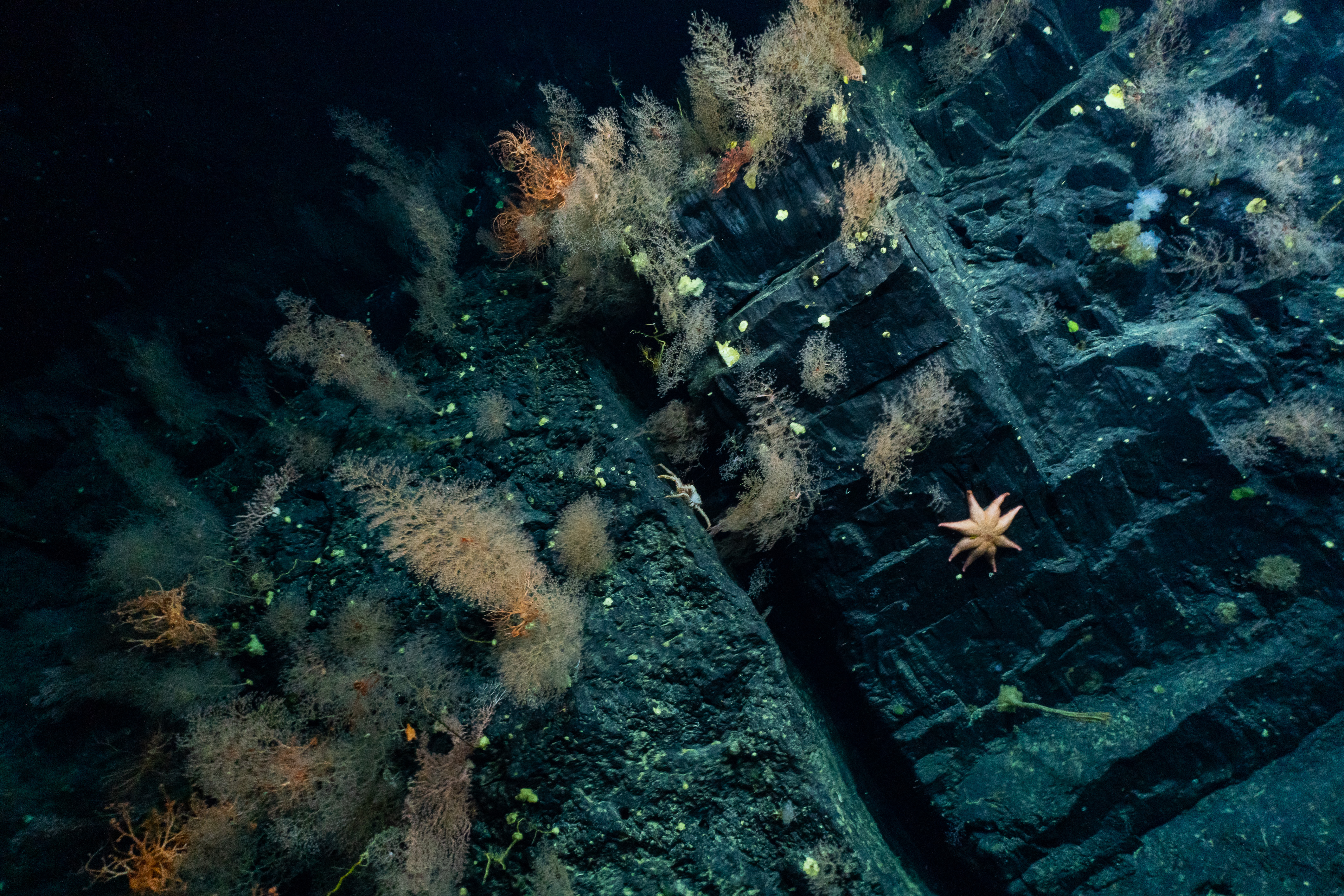
Photo credits: Ocean Exploration Trust/NOAA, except for onboard photo of Upasana Ganguly.

